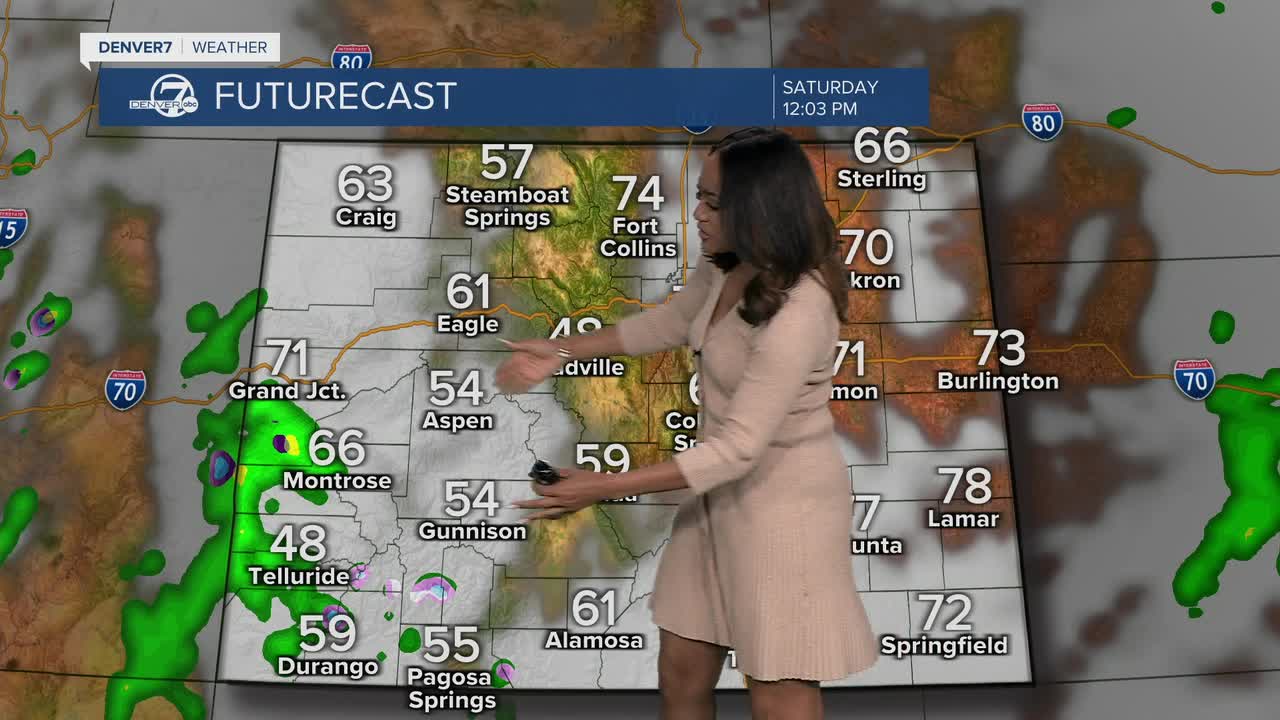


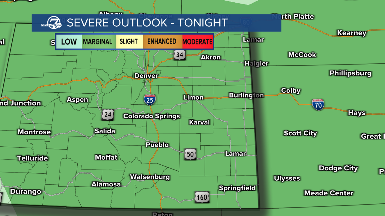
DENVER — There is a chance of scattered showers for parts of Colorado, with a marginal risk for a few stronger storms, especially on the northeastern plains.
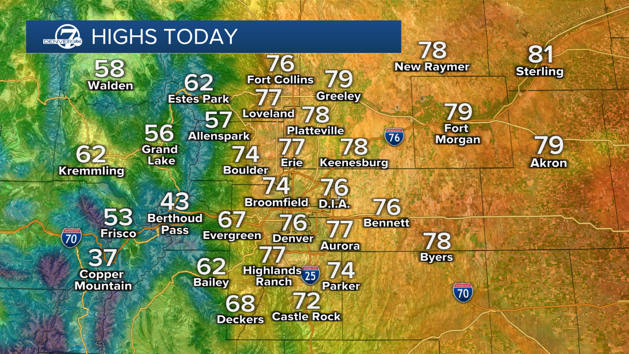
Denver and the metro will stay mostly dry with rain chances in the high country and northeastern plains.
Afternoon highs in the 70s with partly cloudy skies in the lower elevations.
Breezy to windy conditions are expected to increase by Sunday afternoon with highs in the 70s once again.
We can expect windy conditions, especially across the plains and higher terrain.
A Fire Weather Watch will be in effect from Sunday afternoon through Sunday evening for the southern foothills, Palmer Divide, and portions of the eastern plains.
A Red Flag Warning is in effect from 11 a.m. to 9 p.m. Sunday for parts of southern Colorado.
Strong southwest winds of 20 to 30 mph, with gusts up to 45 mph.
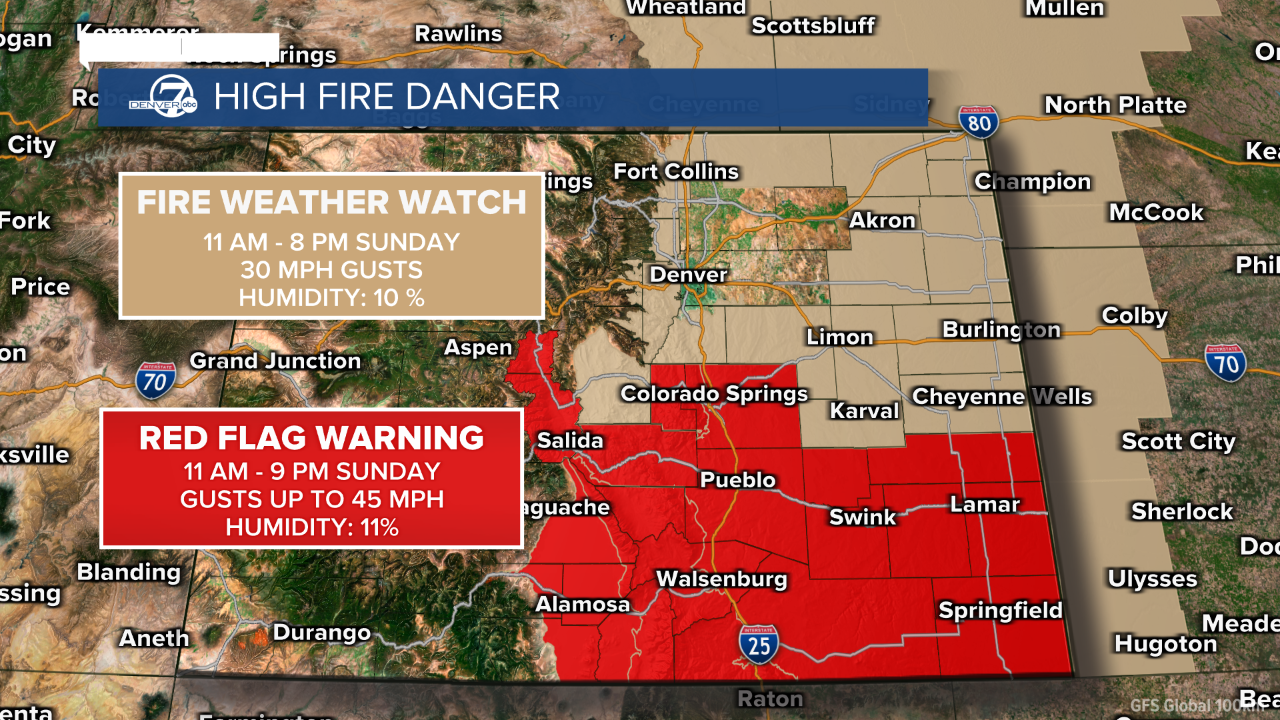
The combination of warm temperatures, low humidity, and increasing winds could elevate fire weather concerns into early next week.
There is a chance of rain returning by Tuesday.
DENVER WEATHER LINKS: Hourly forecast | Radars | Traffic | Weather Page | 24/7 Weather Stream
Click here to watch the Denver7 live weather stream.
